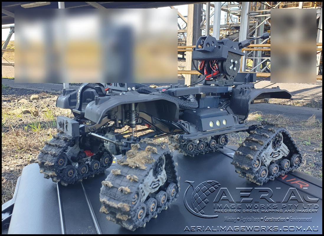
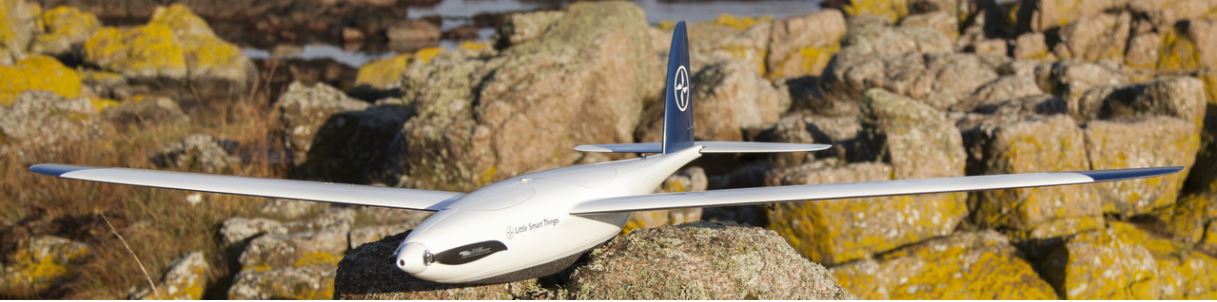
Asset Inspections / Aerial Mapping / 3D Scanning
Locally based in Moranbah, QLD.
Locally based in Moranbah, QLD.
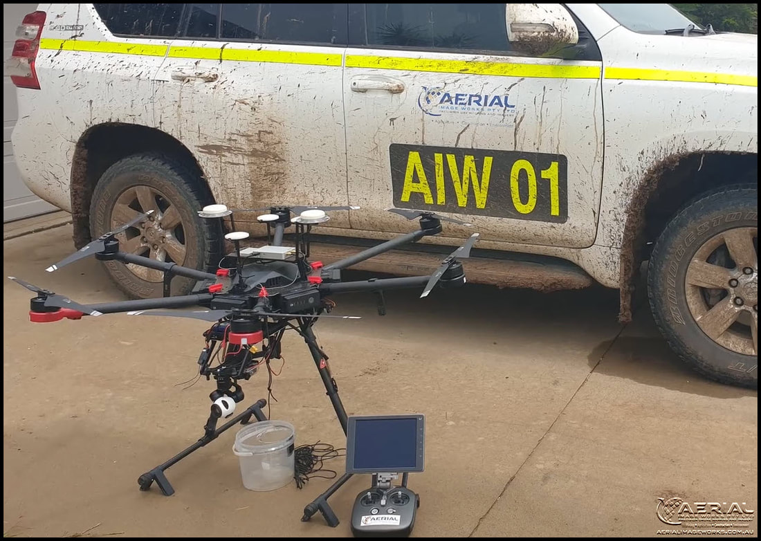
We specialise in aerial surveys, mapping, asset inspection and imagery throughout Australia. We provide 3D aerial mapping, point cloud generation, remote sensing, NDVI, survey, photogrammetry, GIS and data processing services for various industry requirements.
|
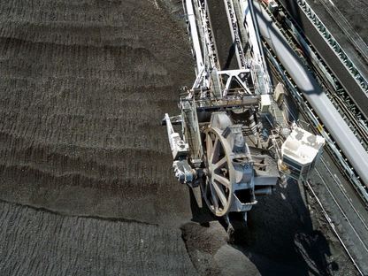
Mining
|
Agriculture
|
Construction
|
Environment
|
|
|
This site is best viewed on a desktop device
© 2013-2023 Aerial Image Works Pty Ltd